Writer-Specific Aims: Gray & Coleridge
The spatial focus of the 'Mapping the Lakes' project is, in part, writer-specific: we are interested in exploring how GIS technology may be used to map out the accounts of regional place provided by two canonical writers, Gray and Coleridge. As a result, the initial stages of the pilot project are informed by the following key questions:
Spatial
- Which places do both Gray and Coleridge say that they visited on their respective excursions through the Lakes?
- Do the writers name any Lake District sites which they do not actually visit?
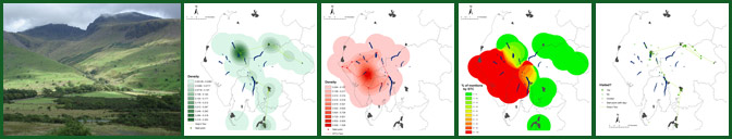
- Can GIS technology be used to map out journeys undertaken on a particular day?
- Can GIS technology be used to chart the distances travelled by each writer?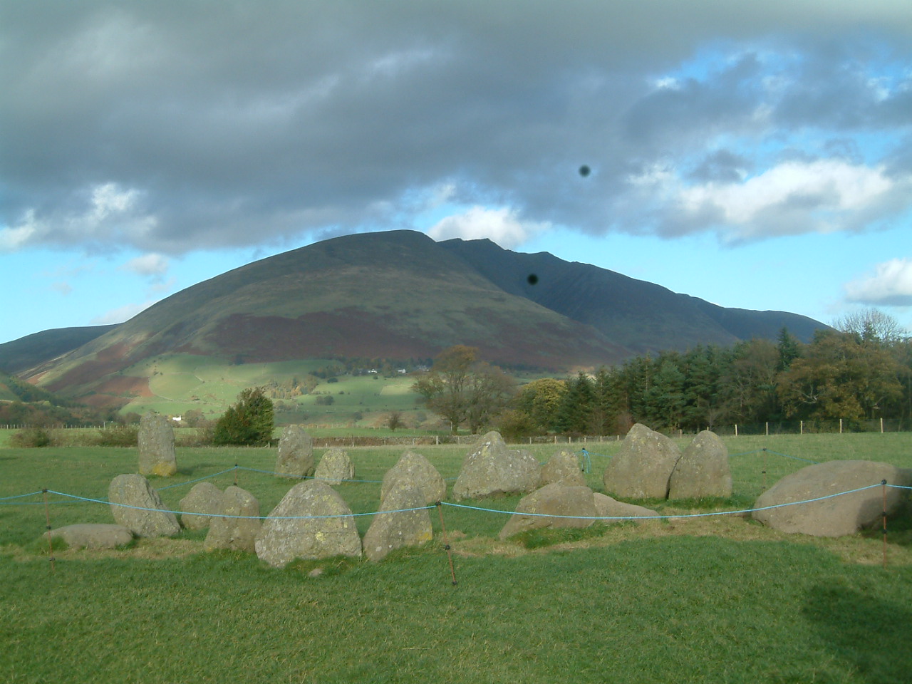
- How did Gray and Coleridge travel through the Cumbrian landscape? Did they walk? Did they use a mode of transport? Did they use a combination of methods?
- How can GIS technology be used to replicate the three-dimensionality of their spatial experience? For example, can 3-d (or 2.5-d) mapping be used to indicate the heights reached by both writers?
- Is it possible to move between maps of differing scales? Can these differing scales correspond with the varying degrees of geo-specificity to be found in the respective texts?
- How can GIS technology handle the non-linearity of textual accounts of spatial experience? Can GIS technology represent the movement between accounts of actual experience and imaginative conceptions of place and space?
Textual
Although the initial focus of the pilot project is spatial, we are similarly interested in issues of text and textuality.
- Which versions of the respective texts should be used as base texts for the digital mappings?
- How can complex textual histories be outlined in digital space?
- How are the texts to be presented on screen? How will the user move between texts and maps in digital space?